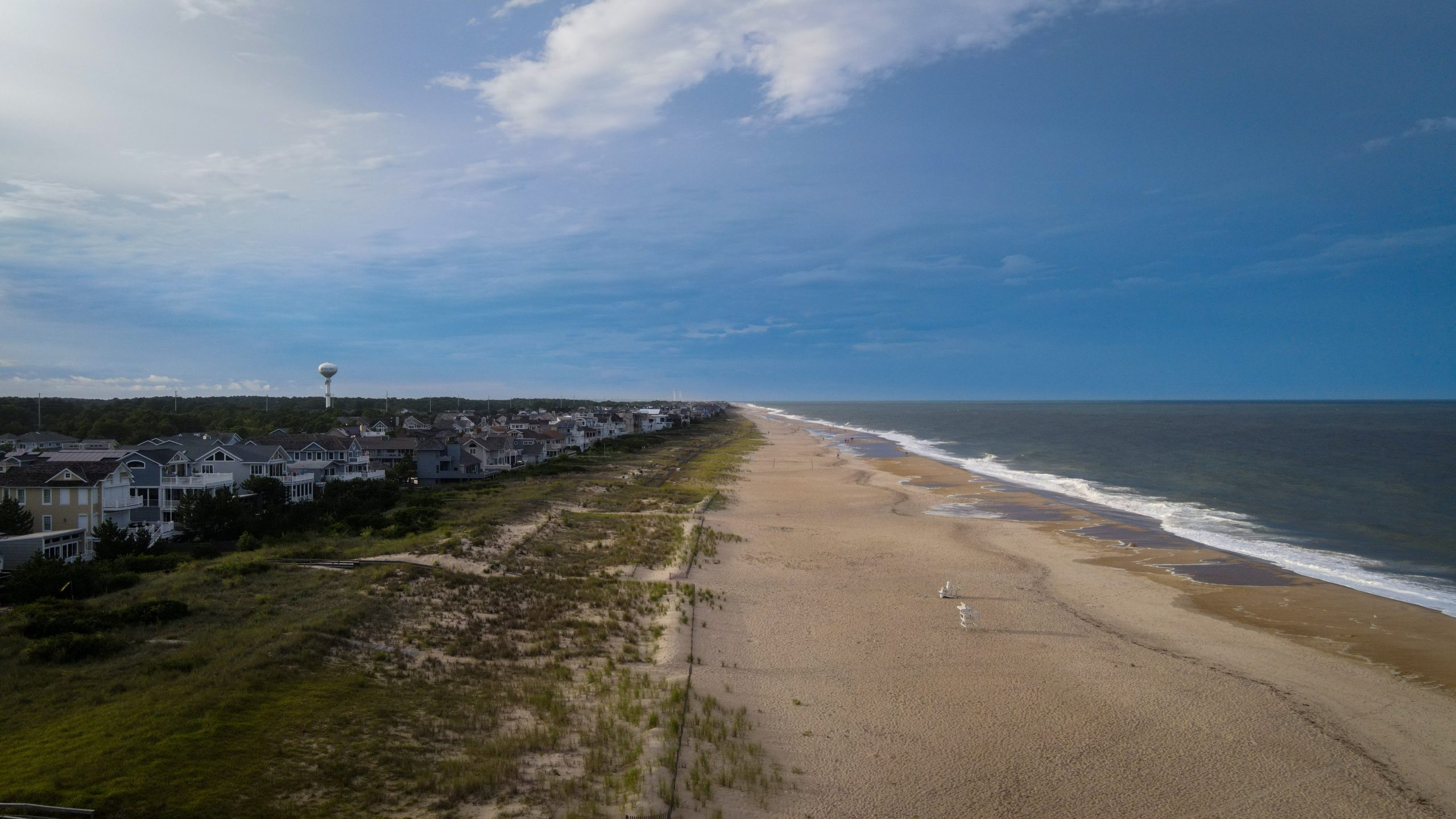
CEMA intern Travis Pluck has developed a StoryMap titled “Delaware’s Climate” using the ArcGIS framework. The StoryMap provides an interactive and streamlined introduction to Delaware’s normal conditions. Geography, Temperatures, Precipitation, Delaware’s Climate Normals, and data from Delaware Environmental Observing System (DEOS) stations are featured on the page.
The StoryMap was developed as part of an ongoing effort to help increase the accessibility of climate information to a wider audience. Some of those goals include education on Delaware’s general weather and climate conditions as well as increasing awareness of the environmental challenges residents of Delaware face.
Travis highlights the potential of this StoryMap, saying that “Communication of weather and climate information is incredibly important. Disseminating this data to a broader audience in an interactive manner can be a unique way to engage the public and help further climate education.”
You can find the “Delaware’s Climate” StoryMap here: https://arcg.is/revPa1


